The GanosBase GeomGrid extension provides two spatial data types for geospatial grid workloads: GeomGrid for polygonal geographic grids and H3Grid for hexagonal hierarchical indexing.
When to use each type
| GeomGrid | H3Grid | |
|---|---|---|
| Grid shape | Polygonal cells | Hexagonal cells |
| 3D support | Yes — heights are encoded alongside latitudes and longitudes | — |
| Hierarchy | One-to-one cell-to-index mapping | Hierarchical levels based on Uber H3 indexing |
| Best for | Representing ground features and integrating spatio-temporal data across custom grid schemes | Hexagonal hierarchical geospatial indexing use cases |
GeomGrid
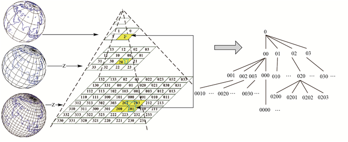
GeomGrid represents geographic grids in the GanosBase GeomGrid extension. A geographic grid is a set of polygonal grid cells that model the surface of the earth. Each grid cell has a unique encoding, with a one-to-one mapping between cells and their encoded values. For 3D geographic grids, heights are encoded alongside latitudes and longitudes.
Type conversions
The following types can be cast to GeomGrid:
| Source type | Notes |
|---|---|
text | |
bytea | |
geometry | |
meshgeom | |
sfmesh | |
vomesh |
GeomGrid can be cast to the following types:
| Target type | Notes |
|---|---|
text | |
bytea | |
geometry | |
box/box3d | |
meshgeom | |
vomesh |
H3Grid
H3Grid is a hexagonal hierarchical geospatial indexing system based on Uber H3 indexing. It is available in the GanosBase GeomGrid extension.
Type conversions
The following types can be cast to H3Grid:
| Source type | Notes |
|---|---|
text | |
bytea | |
integer | |
| Latitude and longitude |
H3Grid can be cast to the following types:
| Target type | Notes |
|---|---|
text | |
bytea | |
geometry |