The GanosBase GeomGrid extension provides two geospatial data types for representing and indexing geographic space: GeomGrid for polygon-based geographic grids and H3Grid for hexagonal hierarchical indexing.
GeomGrid
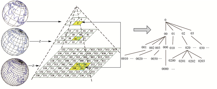
GeomGrid represents geographic grids as a set of polygonal grid cells that model the Earth's surface. Each grid cell encodes location information about geographic features and supports integration with other spatio-temporal data. The encoding uses a one-to-one mapping — each grid cell maps to exactly one encoded value. For 3D geographic grids, height is included alongside latitude and longitude in the gridding and encoding process.
The following table shows the type conversions supported for GeomGrid.
| Data type | Converts to GeomGrid | Converts from GeomGrid |
|---|---|---|
text | Yes | Yes |
bytea | Yes | Yes |
geometry | Yes | Yes |
box/box3d | — | Yes |
meshgeom | Yes | Yes |
sfmesh | Yes | — |
vomesh | Yes | Yes |
H3Grid
H3Grid is a hierarchical hexagonal geospatial indexing system built on the Uber H3 indexing standard.
The following table shows the type conversions supported for H3Grid.
| Data type | Converts to H3Grid | Converts from H3Grid |
|---|---|---|
text | Yes | Yes |
bytea | Yes | Yes |
integer | Yes | — |
geometry | — | Yes |
| Latitude and longitude | Yes | — |