The Ganos GeomGrid extension provides two custom data types for grid-based geospatial encoding: GeomGrid for proprietary geographic grid cells and H3Grid for hexagonal hierarchical indexing based on Uber H3. Both types encode location data into discrete grid cells, enabling efficient spatio-temporal data integration and multi-resolution spatial analysis.
GeomGrid
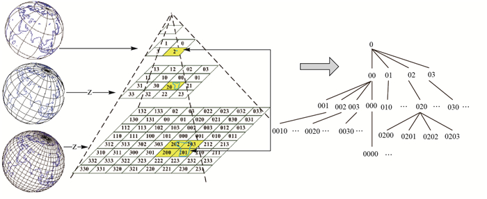
GeomGrid represents a geographic grid cell in the Ganos GeomGrid extension. A geographic grid divides the earth's surface into polygonal cells, each with a unique encoding that provides a one-to-one mapping between a cell and its encoded value. The encoding supports both 2D grids (latitude and longitude) and 3D grids, where height is included alongside latitude and longitude.
Use GeomGrid to store and query location data for ground features, or to integrate other spatio-temporal data types into a unified grid-based representation.
Cast to GeomGrid
The following types can be cast to GeomGrid:
textbyteageometrymeshgeomsfmeshvomesh
Cast from GeomGrid
GeomGrid can be cast to the following types:
textbyteageometrybox/box3dmeshgeomvomesh
H3Grid
H3Grid is a hexagonal hierarchical geospatial indexing type in the Ganos GeomGrid extension, based on the Uber H3 indexing system. Each H3Grid value represents a unique hexagonal cell at a specific resolution level in the H3 grid hierarchy.
Cast to H3Grid
The following types can be cast to H3Grid:
textbyteaintegerLatitude and longitude
Cast from H3Grid
H3Grid can be cast to the following types:
textbyteageometry